Pangea Worksheets
- 44 pages
- 6th, 7th, 8th
$2.50 $5.00 on Teachers Pay Teachers
Half the Teachers Pay Teachers price. The same PDF, sold direct.
DownloadOr get it with All-Access: pick any 20 resources a month for $7.
New here? Your first month of All-Access is half off with code TEACHERTOK
Already bought this, or a member?
Instant download. One teacher's license: colleagues need their own copy. Each file carries a license number.
Also on Teachers Pay Teachers: see the Bright Path Sped store
About this resource
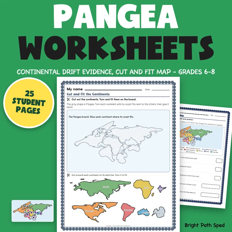
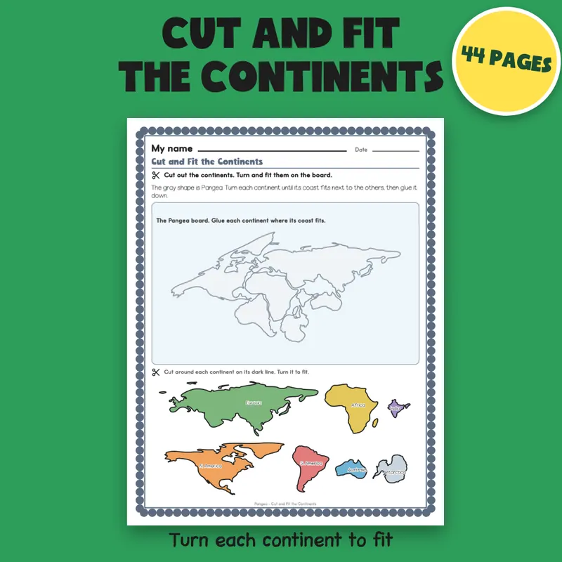
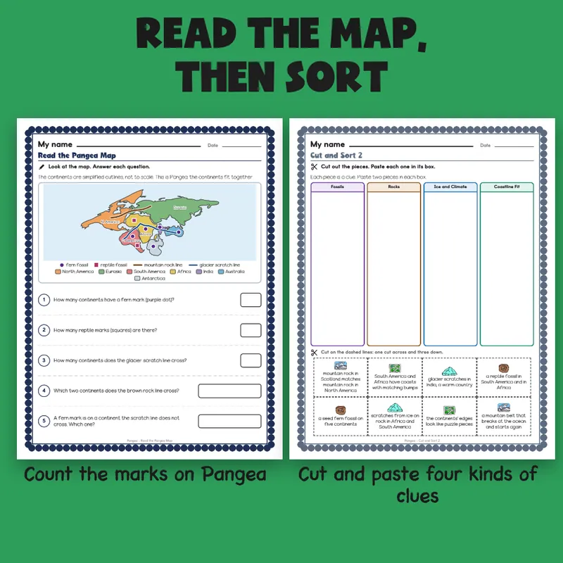
Teaching Pangea and continental drift and need pages students can actually work on? This is a complete unit for grades 6-8 built around the four kinds of evidence Wegener used: fossils, rocks, ice and climate, and the way the coastlines fit. A reference sheet shows each kind with a drawn example. Six short original readings cover Wegener's idea, fossil clues, rock and mountain clues, ice and climate clues, why many scientists doubted him, and the later seafloor and plate explanation, with five questions on each. Two map sheets use seven continents drawn from real outlines (Eurasia and India are drawn as separate shapes, in a classroom model that is not to scale): students count fossil marks, name the continents a rock line or glacier line crosses, and compare the fitted map with today's. The cut-and-fit sheet gives seven cut-out continents to turn and glue onto a Pangea board, matching coast to coast. A worked example with a Your Turn, two Name the Evidence sheets, a fossil chart, a growing-ocean sheet, two Fix It sheets, claim, evidence, reasoning panels, a quiz, short answers, three cut-and-sort pages and six answer keys finish the unit. The map is a classroom model, not a true map: the continents are simplified outlines, not to scale, and the fit is a classroom illustration, not a measured reconstruction. The page says so.
EVERYTHING INSIDE (44 pages)
- Student pages: 25, in thirteen page types, each with a name line and one short instruction
- 151 scored items on the student pages that have questions (24 of the 25), with every count computed from the shapes or numbers on the page
- A reference sheet: fossils, rocks, ice and climate, coastline fit, each with a drawn example
- A Pangea words sheet: 6 words to match
- 6 reading passages, 5 questions each, 30 in all
- Map reading on Pangea and on today's map, 5 questions each, 10 in all
- 1 worked example with a Your Turn (3 items)
- 16 Name the Evidence items across two sheets (8 sentences, 8 short clues)
- A fossil chart (8 items) and a growing-ocean sheet with rates, years and rock ages (10 items)
- 10 Fix It statements across two sheets (6 false, 4 true)
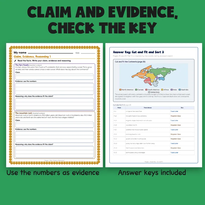
- 4 claim, evidence, reasoning panels across two sheets, 12 items
- 10 quiz items and 5 short-answer questions with sample answers
- 31 cut pieces across four cut sheets: 7 cut-out continents to fit on a Pangea board, then three sorts of 6, 8 and 10 pieces, each card with a small picture
- 6 answer keys; a tracker, a class grid, a team note and a family sheet
- 1 filled example (an invented student), 1 phrase bank (17 starters in 6 groups), 1 binder cover and 6 divider tabs with a spine label to cut out
- Start Here and a Teacher Notes page
Built For The Student Holding The Page
A "My name" line, one short instruction with a small picture cue, and a plain scalloped border. Nothing on a student page is written for an adult: the keys and records are on separate teacher pages. Fossils are purple, rocks are brown, ice and climate are blue and coastline fit is green, and every box also carries the words, so a black and white copy reads too. Every map and diagram is drawn in the file from continent outlines (Natural Earth, public domain), dots, lines and arrows; clip art is kept to a globe, a pencil, a mountain and small Whimsy Clips and Educlips pictures on the sort cards, and no animal or person is drawn.
Invented Examples
The fossil chart, the ridge rates and ages, the rock ages in the claim panels and every number in the filled example are made up for practice, and the student in the filled example is made up and says so. There is no lab procedure, safety rule, equation or standards code anywhere in the file.
Type In, Or Print
The name line, every answer box, every check box and every ruled work box are type-in fields in any PDF reader: click one, type, then save. The cut pages are for scissors and glue. This is a fillable PDF; it is not a Google Slides or PowerPoint file.
What This Is, And What It Is Not
A unit on Pangea (also spelled Pangaea) and continental drift: the evidence that the continents were once joined, why the idea was doubted, and the later explanation from the ocean floor and moving plates, with the record-keeping around it. It does not include a lab procedure, a true to-scale map, plate boundary types or earthquake and volcano pages. It is not a timed test, a screener, a clinical tool, or a claim about any student's age or rate of progress. There is no IEP goal language or eligibility wording anywhere in the file, and it does not name a state or national standard: there is a line on the tracker for your own wording.
If You Want More
Plate Tectonics Worksheets | Diagram, Sort, Fill In, Short Answer 6th-8th Grade; Blank World Map Worksheets | Label Continents, Oceans, Map Skills Grades 6-8; Physical and Chemical Changes Worksheets | Sort, Fill In, Graph 6th-8th Grade.